


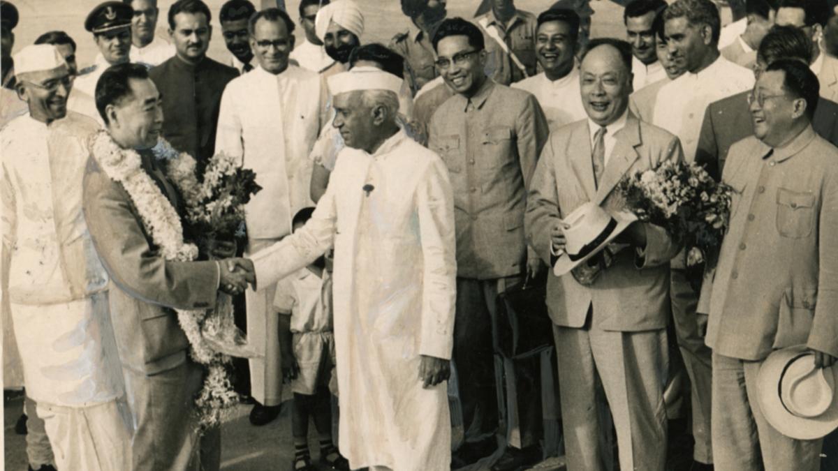
The India-China border, snaking through the Himalayas, remains largely indeterminate and poorly demarcated, rooted in ambiguous colonial-era mapping and survey neglect. In the western sector, Aksai Chin - claimed by India, controlled by China—was never clearly mapped due to the region’s complex terrain and sparse population. Similarly, the eastern sector, marked by the contested McMahon Line, stems from the 1914 Simla Convention—accepted by India but denied by China - exacerbating longstanding ambiguity . Even the middle sector, thought to be less volatile, remains poorly defined amid rugged topography and limited oversight.
Attempts to assert control - including the introduction of the “Line of Actual Control” in 1959 and sporadic military engagements—have yet to translate into a legally recognized boundary . From frontier misalignments like Phursook Bay and Barahoti to ongoing strategic uncertainties, the border reflects a legacy of ambiguity. At present, preserving peace and stability remains the operative priority - even as the question of a definitive border remains unresolved.


Post a comment


Saiyaara soars, Nepo baby finally gets it right!
Mohit Suri’s debut romance Saiyaara, starring newcomers Ahaan Panday and Aneet Padda, raked in ₹170...
Decade‑long revenge: Son kills mother's insulter in Lucknow!
Sonu Kashyap spent ten years tracking his mother’s attacker, then killed him in 2025; a...
UGC-NET June 2025 results out: Who qualified, who didn't?
UGC‑NET June 2025 results: 1,88,333 candidates qualified - 5,269 for JRF + Assistant Professor, 54,885...
What happens if a Vice President resigns? Here's what the...
The Constitution mandates a fresh election when the Vice-President resigns. Here's how the process unfolds...


